
52 programas
-
Alberta
Paquete sin documentacion incluida; contiene imagen. Ficheros: ALBERTA.IDX, ALBERTA.PCX.
-
Amsterdm
Paquete sin documentacion incluida; contiene imagen. Ficheros: AMSTERDM.IDX, AMSTERDM.PCX.
-
Areacode
Paquete sin documentacion incluida; contiene imagen. Ficheros: ac.idx, ac.pcx.
-
Berlin
Paquete sin documentacion incluida; contiene imagen. Ficheros: BERLIN.IDX, BERLIN.PCX.
-
Boston
Paquete sin documentacion incluida; contiene imagen. Ficheros: Boston.idx, Boston.pcx.
-
Boston 2
Paquete sin documentacion incluida; contiene imagen. Ficheros: BOSTON_2.IDX, BOSTON_2.PCX.
-
BVB
Description of BVB.ZIP package: The contained files are the input for Stefan Peichel's LxMap and shows bus and tramway-routes of "Basler Verkers-Betriebe" (the local transport of Bâle/Basle) and the surrounding area. What you need: 1. A HP100LX, HP200LX, or OmniGo 700LX, 2. LxMap from http://home.t-online.de/home/stefan.peichl/ 3. this or more maps from http://www.palmtop.net/lxmap.html 4. transfer the unpacked files to a appropriate directory, 5. customize two or three entries in the IDX file (see comments there).
-
Cbayarea
Paquete sin documentacion incluida; contiene imagen. Ficheros: BAYAREA.IDX, BAYAREA.PCX.
-
Cotswold
Paquete sin documentacion incluida; contiene imagen. Ficheros: COTSWOLD.IDX, COTSWOLD.PCX.
-
CR
Paquete sin documentacion incluida; contiene imagen. Ficheros: cr.pcx, cr.idx.
-
Cutwa
Paquete sin documentacion incluida; contiene imagen. Ficheros: CUTWA.PCX, CUTWA.IDX.
-
DB
Paquete sin documentacion incluida; contiene imagen. Ficheros: DB.IDX, DB.PCX.
-
DC
Washington DC maps for use with LxMap This archive, dc.zip, contains the following files: dc.pcx - the map image for a wider area of DC dc.idx - the index file for use with dc.pcx mall.pcx - the map image for the inner areas of DC mall.idx - the index file for use with mall.pcx readme.txt - this file The map images are fairly similar, but both have advantages and disadvantages over each other. The dc.pcx map covers a slightly wider area (eg it covers out to Arlington in the south west), but I personally feel that the mall.pcx map may be better for general sightseeing around DC.
-
Dcmetro
Paquete sin documentacion incluida; contiene imagen. Ficheros: DCMETRO.IDX, DCMETRO.PCX.
-
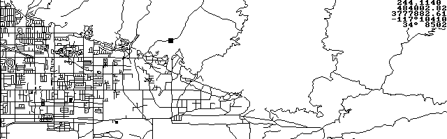
DLG Viewer
DLG Viewer is a United States Geological Service (USGS) Digital Line Graph (DLG) viewing and GPS moving map display utility. DLG is a DOS program ideally suited to run on the HP 100/200LX. The latest version handles rectangular and sinusoidal PCX maps and can invert them. Copyrighted freeware.
-
Dlg10
DLG Viewer 1.0 - USGS DLG Viewer and GPS Moving Map Display DLG Viewer is a United States Geological Service (USGS) Digital Line Graph (DLG) viewing and GPS moving map display utility. DLG is a DOS program ideally suited to run on the HP 200LX Palmtop computer. Since it is a plain DOS program, it will run on any DOS compatible computer. However, the program supports only the CGA display. Features: o reads USGS 100k optional format DLG. o zooms in a window within the area represented in the DLG file.
-
Expo98
LISBON WORL EXHIBITION - EXPO'98 During this month of May opens in Lisbon, Portugal the last world exhibition of the XX century. Present will be 130 countries and all the international organizations. Remenbering the XV and XVI centuries' portuguese voyages of discovery the theme of the exhibition is "The Oceans". It includes the biggest aquarium in the word, the "Oceanarium" featuring animals and plants from the seven seas. This LXMAP applications was made for those thinking of coming to Portugal to visit the exhibition or simply curious of its layout.
-
GPS Coordinate Converter
GPS Coordinate Converter is a Lotus spreadsheet that will handle the conversion of latitude/longitude data to standard HP HMS or to GPSCGA and GPRMC formats. Freeware.
-
GPS-LOG
GPS-LOG is a moving map GPS program desinged for the non-competitive glider pilot, but can be used in any situation that GPS position data are available for logging. Current position, speed, track on ground, distance, course to a waypoint destination and needed altitude are displayed in real time. A moving map display shows the path traveled as well as waypoints created in flight overlayed on a pregenerated map. Copyrighted freeware.
-
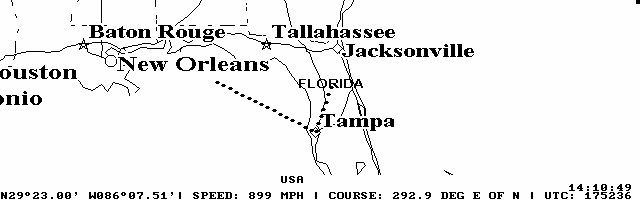
GPSCGA
GPSCGA is an excellent DOS-based GPS moving map program that runs nicely on the palmtop. The registered version includes a PCX converter so you can create custom maps and calibrate them for use with the program. Now with improved Tripmate support. Shareware.
-
Hamburg
HAMBURG RAPID TRANSIT TRAIN These are the files corresponding to the Hamburg's subway and some places of interest (DOM, Planten un Blomen, Fischmarkt...). It's scanned from the HVV plan and hand "cleaned", I hope it may be of your utility. I've been recently there for tourism and I missed something like this, so considering that I'll be back there as soon as I can, I made it. Any of you can think that it's a waste of time... maybe, but it's a great town and I'll return (I should learn a like bit more german before).
-
Hn Ig1
These files show you the Industrial Area "Am Neckar" at Heilbronn (D-74076). You may use them like a roadmap. I submitted them because this industial area is one of the largest in Baden-Württemberg. Now it is only the industrial area, because I thought it is useful to see the names of the streets on the map. I hope the size of the pcx-file will not blow up your expensive palmtop. If you find the map useful, please let me know it and send a e-mail to <schueler-fahrzeugbau@t-online.de> If you ever have trouble with your truck or lorry or van, remember me and let yourself guide by the map.
-
Keym034
User's Guide KeyM - Key Map for EXM programs Rev 0.34 96-09-05 CARGO JBC01207@niftyserve.or.jp 1. What is KeyM? Thanks to utilities such as MoreEXM and SMMx, the limitation of EXM applications on AppManager was now overcome. You can register as many applications as you like. I use a lot of freewares -- too many to remember which key is for which program. (Am I alone?) KeyM is a tiny program which displays a list of Hot Keys for those of us, who has no brilliant memory. From rev 0.23, KeyM learned to launch an EXM program selected by cursor key.
-
Lndnug
London underground system map for use with LxMap This archive, lndnug.zip, contains the following files: lndnug.pcx - the map image for the London underground system lndnug.idx - the index file for use with lndnug.pcx readme.txt - this file The map image is loosely based on the official London Underground map. I have made a lot of changes to make the text readable, but the lines themselves still need a lot of work to make their identities more esily discernable.
-
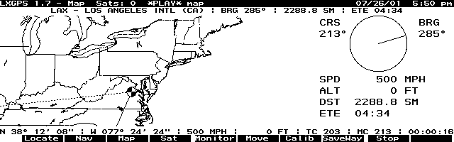
LXGPS
LXGPS connects your HP 100/200 LX to a GPS receiver that communicates using the standard NMEA 0183 protocol over a serial line. LXGPS features a moving map display using user supplied maps in PCX format, navigation to user defined waypoints, sattelite tracking and signal strength display, setting of palmtop time from GPX time. Copyrighted freeware. Check Greg Renda's Homepage to check for a more recent version. Click here to see other GPS related programs.
-
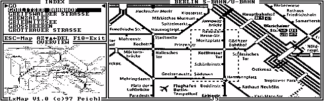
LXMAP
LXMAP is a city map viewer that uses LXPIC as its display engine. You can make your own custom maps and the program will show you where on the map the street is located. Very fast and helpful. Use only this new version in combination with the new LXPIC 7.0 ! For a nice collection of maps, go here . Copyrighted freeware. Check for a more recent version on Stefan Peichl's homepage
-
MANH
Paquete sin documentacion incluida. Ficheros: manh.idx, MANH.BMP.
-
Map Ka
City Map of Karlsruhe for LxMap. KA.BMP (1662x1017x2, 211kB) IDX file contains some of the most important streets and sites, but is far from complete. Map size and format is optimized for HP200LX display. Same maps with higher resolution are KA_25.BMP (2079x1275x2, 331kB) KA_30.BMP (2495x1530x2, 477kB) These maps can be best viewed with LxPic (needs no IDX files). Sebastian Zettl, Karlsruhe zettl@pipetronix.de Find other ready-made maps at http://www.palmtop.net/lxmap.html.
-
MAPPOT
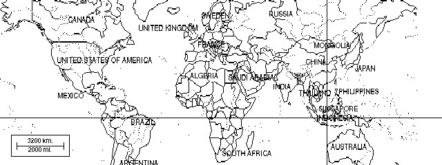
Nice utility to view PCX files with a pointer. Copyrighted freeware.
-
Mappot AID
Great tool for grabbing location coordinates for pasting into Mappot databases. Takes the guesswork out of pointer positioning. Copyrighted freeware.
-
MAPX
MAPX is a spreadsheet tool for finding your latitude and longitude on USGS map quadrangles. Very nice GPS companion. Freeware.
-
Metro
Paquete sin documentacion incluida; contiene 3 ejecutable DOS, icono, imagen. Ficheros: LXMAP.COM, LXMAP.ICN, LXPIC.COM, METRO.IDX, METRO.PCX, README.DOC.
-
MRT
Paquete sin documentacion incluida; contiene imagen. Ficheros: MRT.PCX, MRT.IDX.
-
Munichpt
Paquete sin documentacion incluida; contiene imagen. Ficheros: MUNICHPT.IDX, MUNICHPT.PCX.
-
Nagoya
Paquete sin documentacion incluida; contiene imagen. Ficheros: SUBWAY.IDX, SUBWAY.PCX.
-
NSW
Paquete sin documentacion incluida; contiene imagen. Ficheros: NSW.PCX, NSW.IDX.
-
Ohioctys
Paquete sin documentacion incluida; contiene imagen. Ficheros: OHIOCTYS.PCX, OHIOCTYS.IDX.
-
Pocket FMS
Pocket FMS is a complete flight planning, moving map, and logbook in one integrated package. It is the only DOS-based GPS-ready program for palmtops, laptops and desktops. Shareware.
-
Portland
I threw this map of the Portland area together as part of my "I-5 Warrior" package, because I spend my time between Oregon and the Seattle area. It covers most of the Portland metropolitan area. As I get time I plan to make maps of the entire I-5 corridor. Comments always accepted, complaints accepted on Feb 29th of odd numbered years : ^} Paul pyarnell@proaxis.com
-
Power Menu
Power Menu is a small, fast (100% assembler) DOS menu program. Stefan Peichl has reported it to be an excellent menu frontend to LXMap. It will work with any DOS program. Copyrighted freeware.
-
Seattle
Paquete sin documentacion incluida; contiene imagen. Ficheros: seattle.idx, seattle.pcx.
-
SL
Paquete sin documentacion incluida; contiene imagen. Ficheros: Sl.idx, Sl.pcx.
-
Sthlm
This map is over the capitol of Sweden - Stockholm. The map was processed with Paint Shop Pro 5. Edge enhance > Change palette (to make water black) > Grey scale and finaly Posterise. A quicker way is to Reduce to two colors. Wich dithers the image but makes it twise as big. With dither it allso looks bad when You zoom the map on the HP. This map is also calibrated to be used with LXGPS. Tomas.Moberg@abc.se /uppsala
-
Stutgrt
Paquete sin documentacion incluida; contiene imagen. Ficheros: STUTVVS.PCX, STUTVVS.IDX.
-
Txcounty
Paquete sin documentacion incluida; contiene imagen. Ficheros: TXcounty.pcx, TXcounty.idx.
-
USA
USA States map for use with LxMap This archive, usa.zip, contains the following files: usa.pcx - the map image for the usa usa.idx - the index file for use with usa.pcx readme.txt - this file The map is based on the states of the USA. I did my very best as a non-US-citizen <g>, but if you think there are are any errors in the indexing, or you have any suggestions for improvements, please email me and I will do my best to include them in the next release. Axel Klag - klag@dwelle.de * http://www.dwelle.de
-
Usa City
Paquete sin documentacion incluida; contiene imagen. Ficheros: Usa.pcx, Usa.idx.
-
Victoria
Paquete sin documentacion incluida; contiene imagen. Ficheros: VICTORIA.IDX, VICTORIA.PCX.